
Konten dari Pengguna
Addressing Future Global Challenges Through Strengthening Spatial Literacy

11 Maret 2025 15:04 WIB
·
waktu baca 3 menit
Kiriman Pengguna
Addressing Future Global Challenges Through Strengthening Spatial Literacy
artikel ini hanya berisikan argumen penulis didasarkan atas pengetahuan latar belakang ilmu penulis terkait dengan topik yang dibahas.Yusuf Susena
Tulisan dari Yusuf Susena tidak mewakili pandangan dari redaksi kumparan
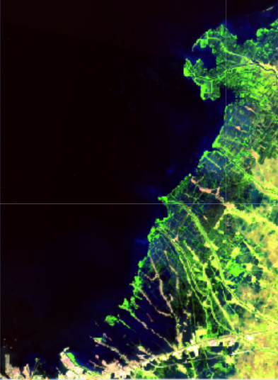
In the rapidly evolving digital era, spatial literacy has become one of the key competencies in achieving the Indonesia Maju (Advanced Indonesia) vision. However, spatial literacy remains a relatively unfamiliar topic among the general public in Indonesia. Spatial literacy refers to the ability to understand, analyze, and utilize geospatial information in decision-making, whether at the individual, community, or governmental level.
Why Is Spatial Literacy Important?
Strategic Steps to Improve Spatial Literacy
With strong spatial literacy, Indonesia can maximize its resource potential, improve development efficiency, and better tackle global challenges. Strengthening spatial literacy is a crucial step toward realizing a sovereign, independent, and globally competitive Indonesia in the future.